Capture companies (SLAM / drones)
Transform laser scans and drone flights into collaborative 3D models ready to share.
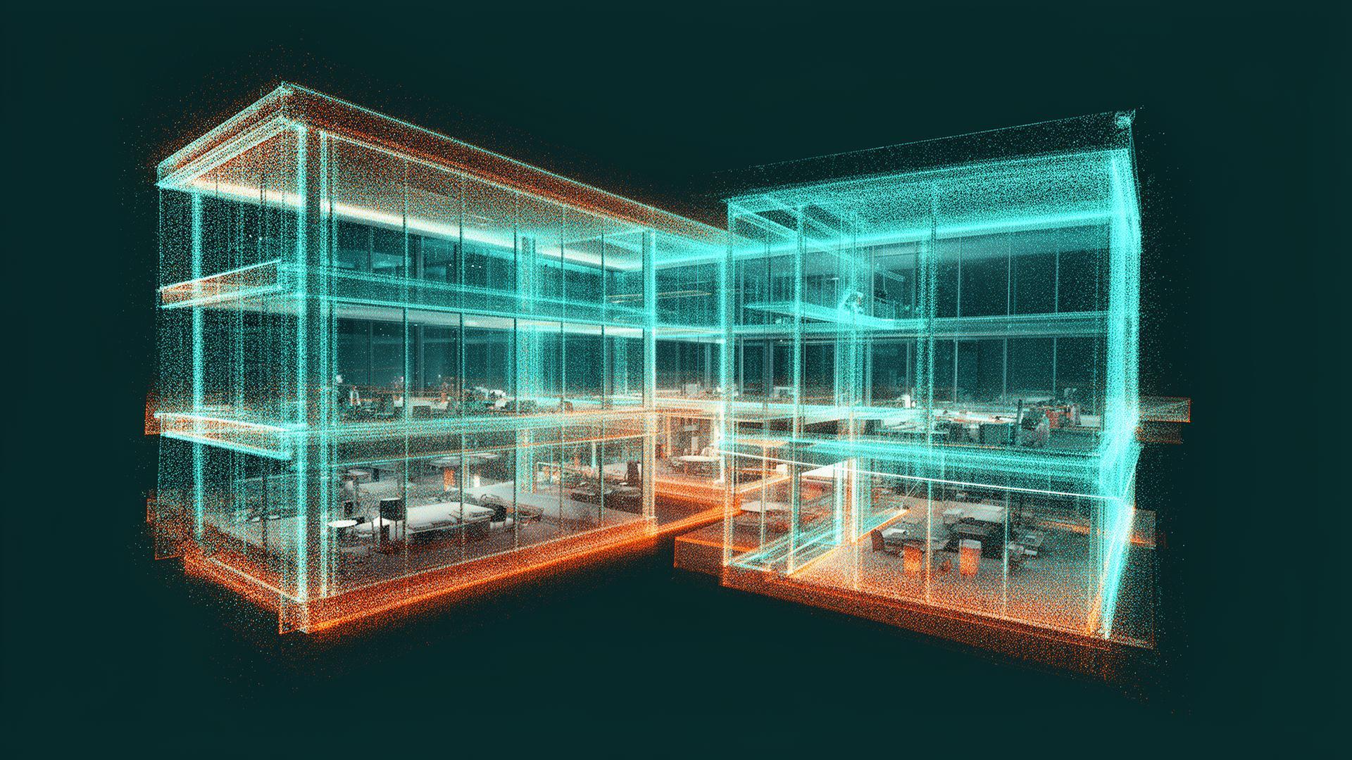
Obliquo Reality
The most advanced platform to visualize and analyze 3D point clouds, meshes, panoramas, IFC files and Gaussian Splats. Millimetric precision. Exceptional performance.
Input
LAS · LAZ · E57 · IFC · GLB · 360
Obliquo Reality
Output
Before & after
Before
With Obliquo Reality
Heavy folders
Web link
Client installs software
Client opens the browser
Static deliverables
Navigable project
Manual support
Self-service
Data dies after handover
Reusable asset
The challenge
Professional captures often end up locked in heavy desktop tools, large folders or one-off deliverables. Obliquo Reality turns them into accessible digital assets that clients and teams can explore from the web.
Who it is for
Transform laser scans and drone flights into collaborative 3D models ready to share.
Integrate field data with design projects to supervise progress and detect deviations.
Control site execution by comparing the BIM model with captured reality at every phase.
Manage urban assets and infrastructure with digital twins accessible from any browser.
Unify point clouds, meshes and IFC models in a single visualization and analysis environment.
Document and preserve historic buildings, archaeological sites and monuments with high-precision digital twins.
Capabilities
Navigate high-density point clouds, 3D meshes and Gaussian Splats with smooth browser performance.
Organize your scans by project. Import SLAM and drone data in multiple formats effortlessly.
Create preset views of your project to highlight areas of interest and simplify navigation.
Take measurements directly on the point cloud or mesh with millimetric precision.
Add notes and markers in 3D space to communicate issues or project details.
Generate a URL link so your clients can view the project without registering or logging in.
Supported formats
Point clouds and BIM models are available today. 3D meshes, 360° panoramas, Gaussian Splats and orthoimages are on the roadmap.
Standard point cloud formats from laser scanners and photogrammetry.
Textured polygonal meshes for high-quality visualization.
.OBJ, .FBX, .GLB, .GLTF
IFC files to integrate BIM models with captured reality.
Geolocated spherical panoramic images in 3D space.
.JPG, .PNG, .HDR
NeRF/Gaussian Splatting representations for photorealistic visualization.
.PLY, .SPLAT
Orthophotos and elevation maps generated with drones.
.TIFF, .JPG
Workflow
Upload point clouds, 3D meshes, panoramas or IFC files from your SLAM scans or drone flights.
Navigate the 3D model, create precision measurements, add annotations and generate snapshots of key views.
Generate a link and share it with clients or collaborators. They view the project without sign-up or installations.
Ready to get started?
Transform your scans into interactive 3D experiences that you can share with a single link.
100% free
Fill in the form and we'll create your account. No commitment, no credit card.