Advanced visualization functionalities for your aerial image projects.
obliquo aerial
Visual analytics for aerial images
Gain insights from aerial imagery
Obliquo Aerial offers a powerful set of tools to work with aerial images, oblique and nadir, and extract their full potential.
Smart visualization
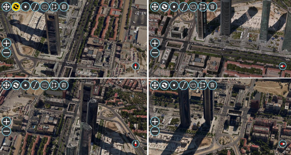
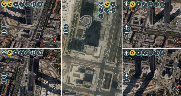
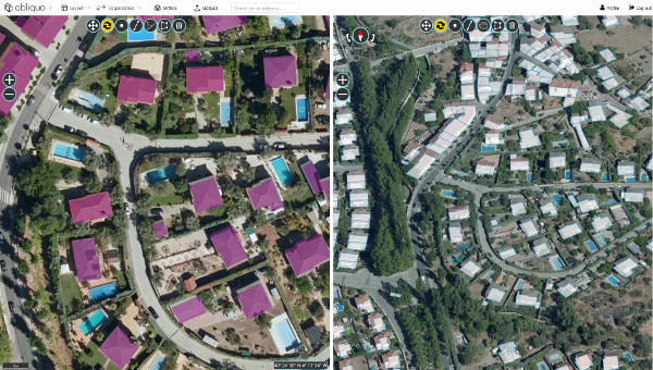
Multi-frame layout
Choose your preferred layout: from one to five simultaneous
views.
You have more than 10 pre-defined configurations or you can
customize the layout according to your preferences.
Automatic synchronization
All the views in the layout are synchronized by default. When you navigate in one of the views, the rest of them move at the same time selecting the best image from every point of view for the new position.
User can easily disable this behavior for every single view or individually.
Advanced filters
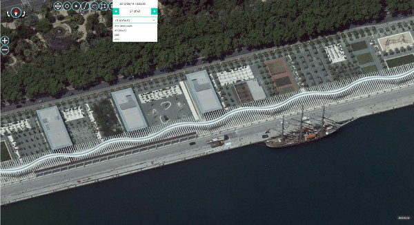
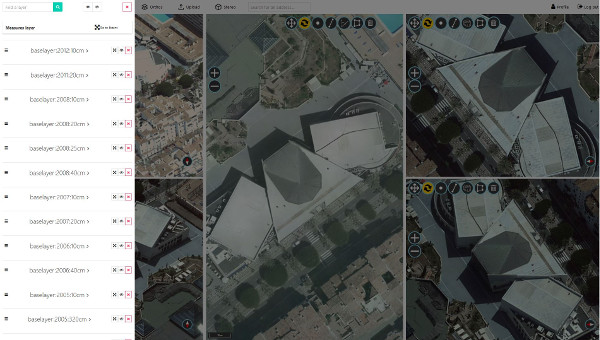
You can visualize several data sets at the same time and filter the images by various criteria: date of capture, orientation or any other metadata associated with them.
Navigation
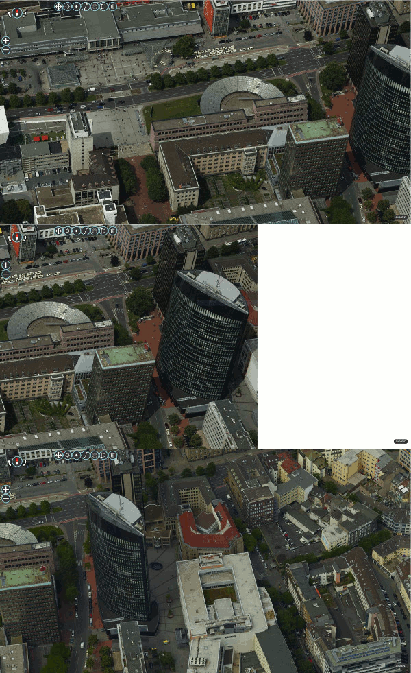
When the user navigates through any image on the screen and exceeds the limits of any of the images being displayed on the screen, Obliquo dynamically loads a new image with the same orientation as the user’s current navigation point.
Smart analysis
All the tools you need for working with your aerial image projects.
Advanced measurement tools
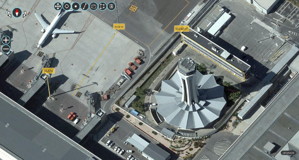
The powerful photogrammetric measuring system lets users measure any element they can see in the images.
Two measurement options: DTM-based or by triangulation.
Points, lines and areas can be measured over any horizontal, vertical and oblique surface.
Drawing and feature extraction
Powerful drawing and object extraction tools allow you to 3D digitize any element on the images and export the result in a standard GIS or CAD format.
Overlay GIS layers
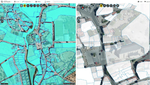
Any GIS layer can be superimposed on the displayed images on the fly.
GIS layers can be inserted from the user’s computer, obtained by connecting to OGC services or stored on our platform.
Smart applications
Easily develop your own applications based on aerial images.
Javascript API
Developers can easily create their own applications based on aerial imagery.
Two API levels, simple and multi-window, simplify the management of the views and let developers focus on developing nice applications.
All tools are customizable, they can be hidden, relocated or even integrated into another framework by calling their associated API functions.

Obliquo webapp
You can get your own customized application without writing a single line of code. Just customize our online webapp with your logo and corporate image.
That’s all! You’ll have your own application up and running in a few minutes.