Advanced visualization functionalities for your street-level image projects.
obliquo street
Visual analytics for mobile mapping
Gain insights from street-level imagery
Obliquo Street offers a powerful set of tools to work with street-level images and extract their full potential.
Smart visualization
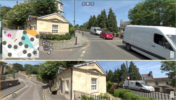
Multi-frame layout
Choose your preferred layout: from one to five simultaneous
views.
You have more than 10 pre-defined configurations or you can
customize the layout according to your preferences.


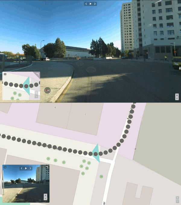
Switch views
Switch between reference map and street level visualization and get information about the context of the current image.
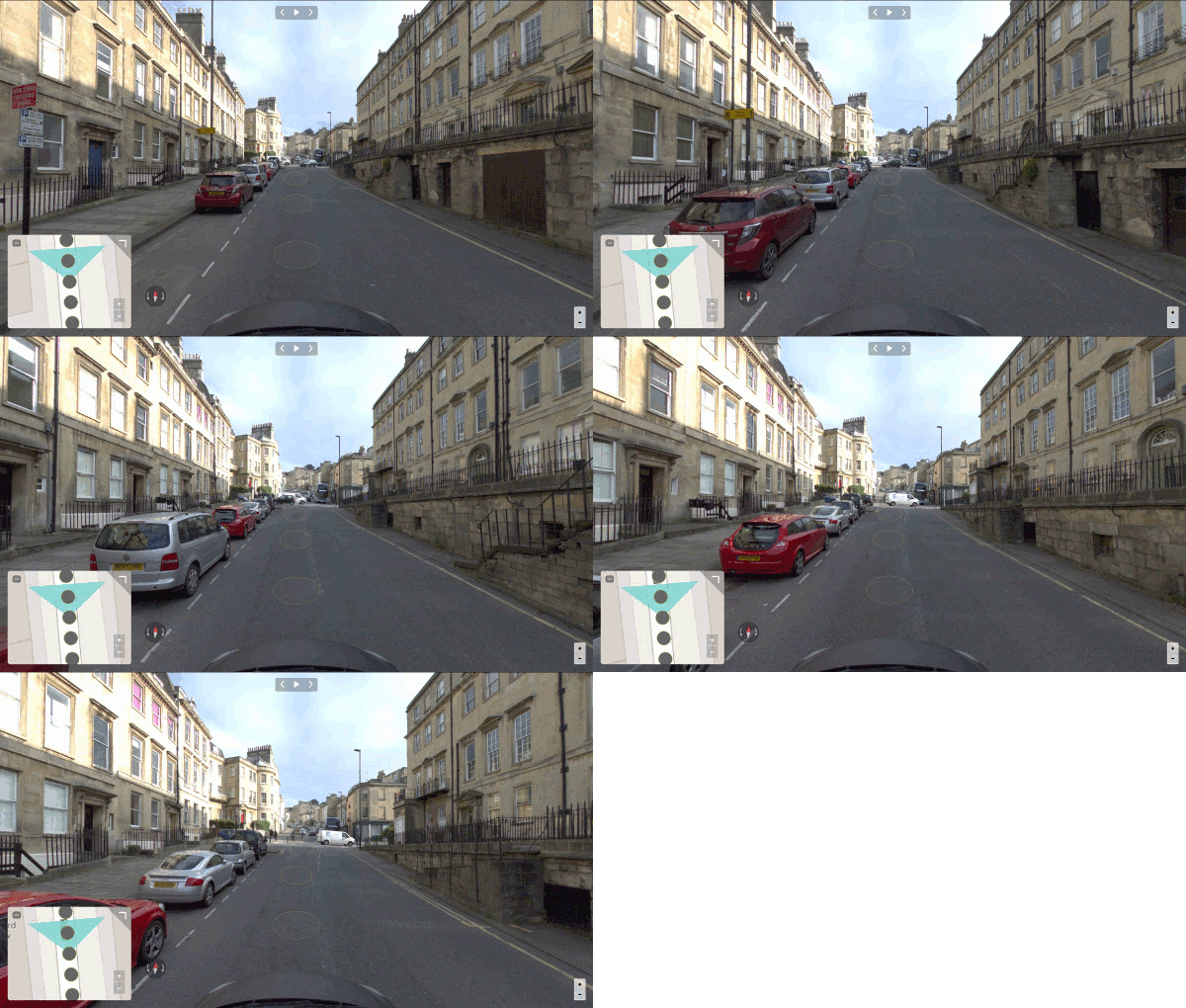
Navigate along the track
You can scroll the capture path automatically, step by step, or select any point of the path and display the corresponding image.
The system maintains the user’s point of view when changing images to improve the navigation experience along the route. At any time, the user can modify this point of view or stop the tour.

Smart applications
Easily develop your own applications based on street-level images.
Javascript API
Developers can easily create their own applications based on street level imagery.
Two API levels, simple and multi-window, simplify the management of the views and let developers focus on developing nice applications.
All tools are customizable, they can be hidden, relocated or even integrated into another framework by calling their associated API functions.
